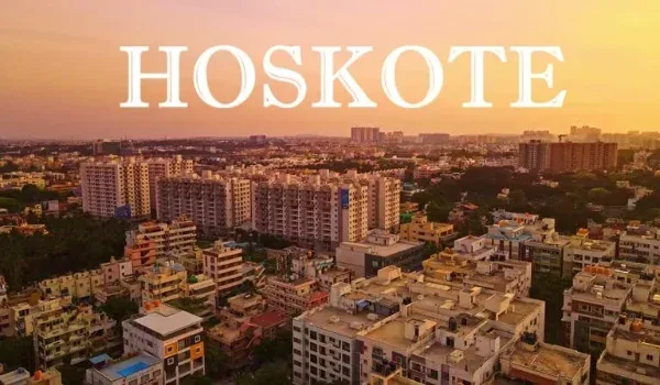
Hoskote Master Plan & Development Guide 2026

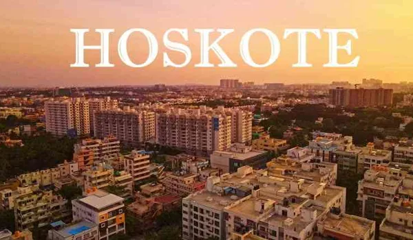
The hoskote master plan is the planning framework that decides how land on Bengaluru's eastern edge is zoned, approved and developed, and for a homebuyer it matters because zone status, land conversion and khata directly shape loan eligibility, legal safety and resale value. Hoskote is a Town Municipal Council area that sits within the wider Bangalore Metropolitan Region planning ambit, and its development direction is driven by the NH-75 road spine, the proposed ring-road network and a large industrial belt. This guide explains, in plain terms, who governs the plan, where growth is heading, what the land-use pattern means, and the approvals you must check before you buy.
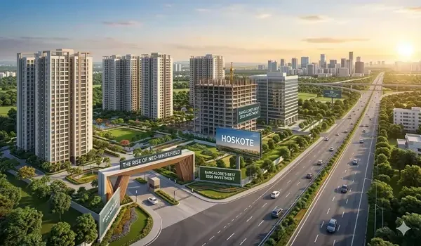
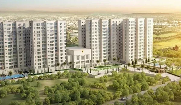
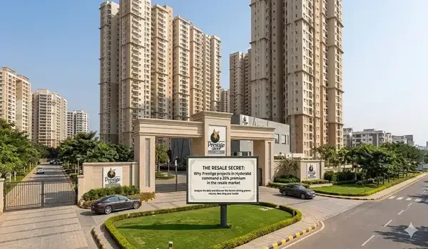
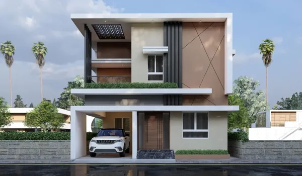
This is a planning and development guide, not a transport guide and not a plot listing. The aim is to give a buyer or investor a working understanding of the rules and the growth logic behind Hoskote, so a shortlist can be judged on more than a brochure. The area's most-watched new address, Prestige Hoskote by Prestige Group, sits squarely on the main growth corridor — a useful example of how a master plan translates into where projects actually get built.
Who Governs the Hoskote Master Plan
Hoskote is administered by a Town Municipal Council and lies on the eastern fringe of the Bengaluru metropolitan area. Its planning falls within the Bangalore Metropolitan Region, the regional planning ambit overseen by the BMRDA. In practice this means several bodies touch a development: the Town Municipal Council for local civic matters and building sanction, the relevant planning authority for layout approval and land-use, and the Karnataka Industrial Areas Development Board, or KIADB, for the industrial estates. Because designations and boundaries are revised from time to time, the exact plan document, its map and any live amendments should always be verified directly with BMRDA and the local authority rather than assumed.
One distinction sits at the heart of everything: revenue land versus approved-layout land. Revenue or gramthana land is agricultural land that has not been formally converted and sanctioned for residential use. An approved layout has been through land conversion and received planning approval. That single difference decides whether a bank will lend cleanly, whether the title is safe, and how easily you can sell later. A branded township on approved, converted land carries a very different risk profile from a cheap revenue plot on the same road.
Khata Status and Why It Follows the Master Plan
Closely tied to zoning is the khata — the municipal record of a property for tax and compliance. An A-Khata property is fully compliant with approvals and building rules, which most lenders require for a standard home loan and which supports a smoother resale. A B-Khata property is recorded but not fully compliant, and it can restrict loan eligibility and complicate future transfer. When you buy in Hoskote, the khata type is not a formality; it is a direct read-out of whether the property sits cleanly within the approved land-use framework. Verify the khata and its supporting documents before you commit any money.
The reason this connects back to the master plan is simple. A plot marked for residential use in an approved layout can achieve A-Khata and clean financing. A plot on unconverted land, or one that ignores the zoning, tends to land in the B-Khata or irregular category, where loans are harder and resale is thinner. So reading the plan and reading the khata are two halves of the same diligence.
The Main Growth Corridors
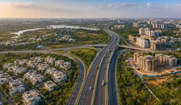
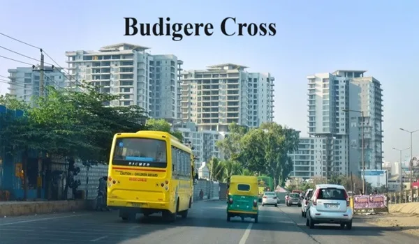
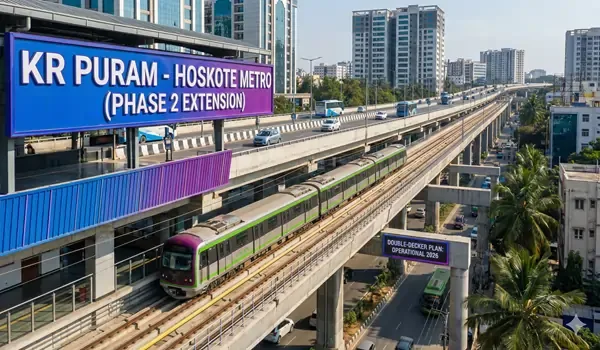
Hoskote's development is not spread evenly — it clusters along a few clear axes. The first and strongest is NH-75, the Old Madras Road corridor running west toward KR Puram and the Whitefield technology cluster. This is where most of the branded residential township growth is concentrated, particularly around the Dalasagere stretch off the highway. Good road access to the city's eastern job belts is the single biggest driver of housing demand here.
The second axis is the proposed Satellite Town Ring Road, or STRR — an orbital road intended to link the satellite towns around Bengaluru and improve movement toward Devanahalli and the airport region. It is best treated as a proposed and under-planning corridor: it shapes long-term investor interest, but timelines and alignments should be confirmed with the authorities rather than taken as fixed. Any metro or rail extension talk in this direction is similarly at the planning or discussion stage and should be read as hedged, not committed.
The third pillar is employment. The KIADB industrial and warehousing belt around Hoskote anchors a large base of jobs and logistics activity, and the town's position on the highway makes it a natural mixed-use and warehousing node. Proximity to Kempegowda International Airport via the orbital road network adds to its logistics appeal. Together, these corridors explain why residential, industrial and warehousing uses sit side by side in the area's land-use direction. For a deeper look at how the roads themselves knit together, the connectivity guide covers transport in detail, while this page stays focused on planning and zoning.
Hoskote Growth Corridors & Land-Use at a Glance
| Corridor / zone | Primary land-use direction | What drives it | Status |
|---|---|---|---|
| NH-75 / Old Madras Road (toward KR Puram–Whitefield) | Residential townships, mixed-use | Road access to eastern IT belt; Dalasagere township growth | Active and developing |
| STRR / Satellite Town Ring Road | Orbital connectivity, future mixed and logistics | Links satellite towns; access toward airport and Devanahalli | Proposed / under planning |
| KIADB industrial & warehousing belt | Industrial, logistics, warehousing | KIADB estates; highway freight movement | Established, expanding |
| Town core & approved layouts | Residential, civic, commercial | Town Municipal Council area; existing infrastructure | Established |
Details indicative, as of June 2026 — verify the latest master plan and approvals with BMRDA/local authorities and the developer.
What a Master Plan Actually Means for a Buyer
A master plan is not an abstract government document; it is a practical filter for a purchase. It tells you three things that money depends on. First, whether residential use is permitted on the parcel you are eyeing — building on land zoned for another use, or reserved for a road or public purpose, is a costly mistake. Second, it signals where infrastructure investment is heading, which is a large part of why a well-located plot appreciates. Third, combined with conversion and khata, it determines whether a bank will finance the purchase and whether a future buyer can too.
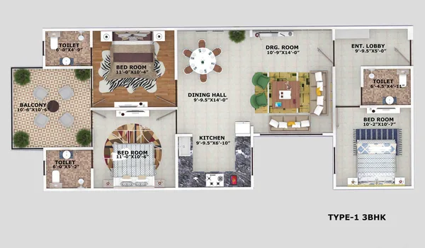
Infrastructure timelines deserve a note of caution. Roads, ring-road segments and civic upgrades often run behind their announced schedules, so a plan that shows a future corridor is a direction of intent, not a delivery guarantee. Treat proposed items as upside rather than as facts you have paid for. The disciplined approach is to buy on what is approved and on the ground today, and count planned infrastructure as a bonus if and when it arrives. To understand where the area sits geographically within these zones, the project's location and connectivity overview maps the address against the main corridors, and the Prestige Hoskote master plan layout shows how a single township is organised inside its parcel.
Featured Projects Within the Growth Corridors
The clearest way to see the plan in action is to look at where the leading branded projects have chosen to build. Each of the following sits within a defined growth zone, and each shows a different slice of the land-use direction — from highway-side townships to large master-planned parcels. Prices and stages are indicative and should be confirmed with the developer.
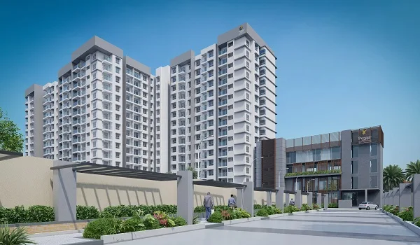
Prestige Hoskote

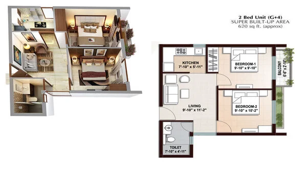
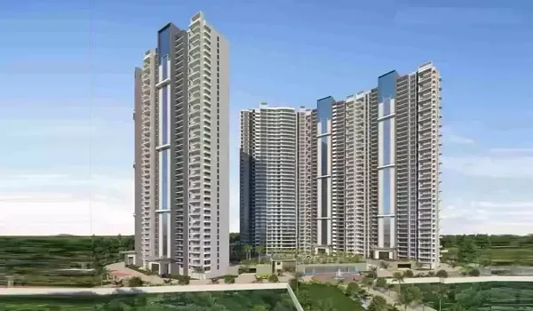
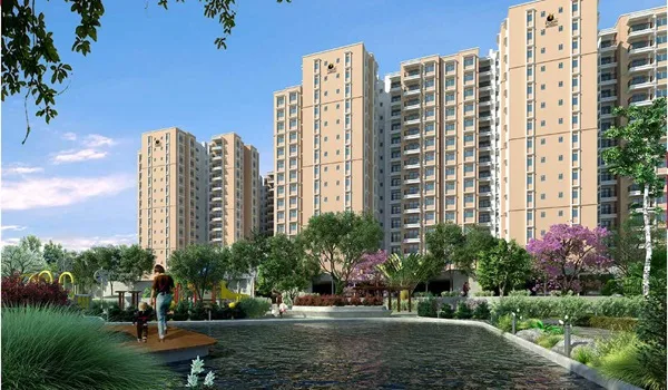
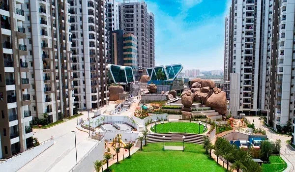
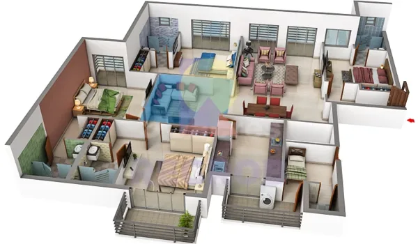
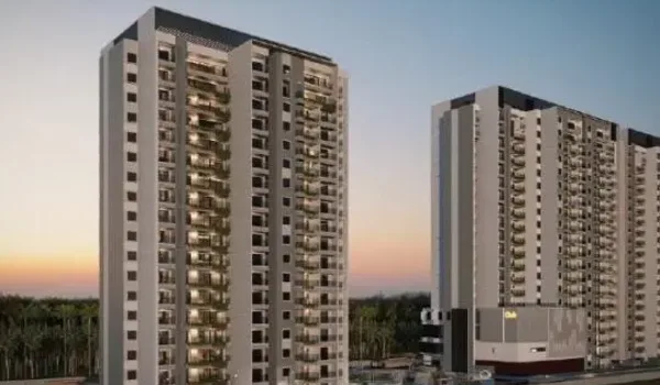
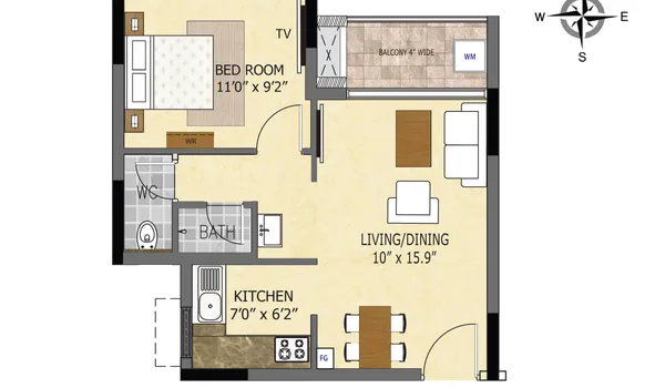
Prestige Hoskote is a pre-launch gated township at Dalasagere, off NH-75 — placing it directly on the area's primary residential growth axis. Its position on the main highway corridor, close to the pull of the Whitefield job belt, is a textbook example of how development follows the master plan's strongest road spine. Configured as 2, 3 and 4 BHK apartments, it is aimed at families wanting a branded address on the town's best-connected stretch. As a pre-launch, its K-RERA registration is in process, so verify the number on the K-RERA portal and confirm approvals with the developer before booking.
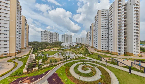
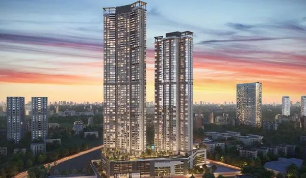
Sobha One World

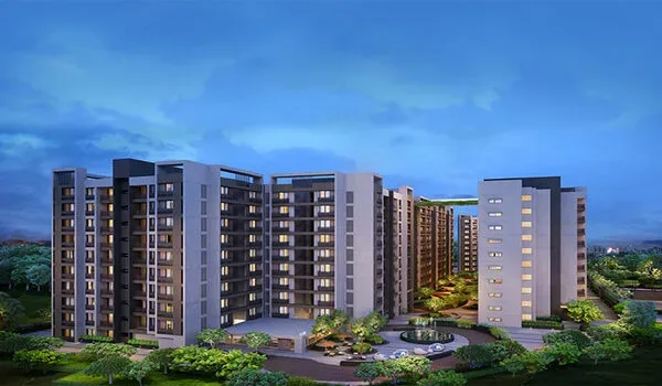
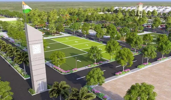
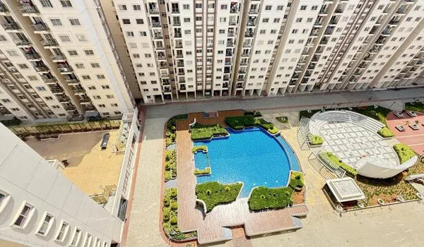
Sobha One World is a new-launch township planned across a large land parcel in the Hoskote area, and it illustrates the master-planned, multi-configuration model the corridor is moving toward. With 1, 2, 3 and 4 BHK apartments in the mix, it is designed to draw a broad buyer base into a single self-contained development — the kind of large parcel that a growth corridor with land availability tends to attract. Possession is around 2031, so it suits a long-horizon buyer comfortable holding through construction. Confirm the current configuration, size and cost sheet directly with the developer.
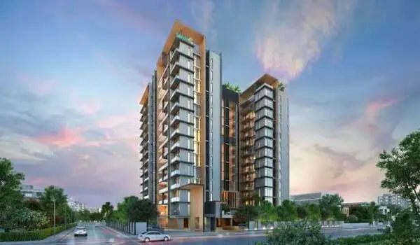
Godrej Parkshire

Godrej Parkshire is an upcoming project positioned to draw on the same corridor logic — road access to the eastern job belts and proximity to the industrial zones that anchor local employment. Its homes run from about 1,150 to 1,750 sq ft across 2, 3 and 4 BHK layouts, aimed at families sizing into a national-builder launch. As an upcoming development, it is an appreciation play until handover and suits a buyer who can hold through the build. Verify configuration, price and approvals with the developer before committing.
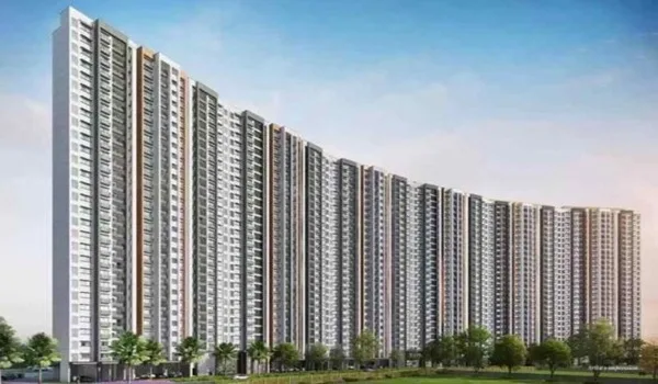
Birla Hoskote

Birla Hoskote is an upcoming branded launch in the Hoskote corridor, and it is included here honestly as a name to watch rather than a fully specified project. Exact configurations, sizes and pricing are not confirmed at the time of writing, so treat any figures you see elsewhere as provisional and verify the configuration and price directly with the developer. Its relevance to this guide is corridor position: another national brand choosing the Hoskote growth belt is a signal of where the plan is directing demand, which is worth tracking as approvals and details firm up.
Prices indicative, as of June 2026 — verify the current cost sheet and approvals with the developer or a local agent.
Approvals to Check and How to Verify Them
Reading the plan is only useful if you turn it into a checklist. Before you pay, confirm five things for any Hoskote property. Is the land converted for the intended residential use? Is the layout or building plan approved by the competent authority? Is the khata A-Khata, or if B-Khata, do you understand the financing limits? Does the project carry a valid RERA registration you can look up? And does the plot match the zoning in the master plan, with no reservation for roads or public use over it?
Verify each point at source rather than from marketing. Cross-check the plot against the master-plan map with BMRDA or the local authority, confirm the RERA number on the state portal, and have a lawyer read the conversion order, approved layout and khata documents. If you are comparing what your budget buys against the local benchmark, the area's Hoskote price and cost details give a reference point for the corridor. When your shortlist is clear and the paperwork checks out, book a site visit to walk the location, see the approvals in context and confirm the live cost sheet before you decide.
Frequently Asked Questions
1. Which authority governs the Hoskote master plan?
Hoskote is a Town Municipal Council area on Bengaluru's eastern edge and sits within the Bangalore Metropolitan Region planning ambit overseen by the BMRDA. Local planning, layout approvals and building sanction involve the Town Municipal Council along with the relevant planning authority, while industrial zones fall under KIADB. The exact plan document, its boundaries and current amendments should be verified directly with BMRDA and the local authority, as designations are periodically revised.
2. What are the main growth corridors in the Hoskote master plan?
The dominant corridor is NH-75, the Old Madras Road axis toward KR Puram and Whitefield, which carries most of the residential township growth around Dalasagere. The proposed Satellite Town Ring Road, or STRR, is the second big driver, improving orbital links toward Devanahalli and the airport region. Alongside these, the KIADB industrial and warehousing belt anchors employment and logistics demand. Treat any ring-road or transit item as proposed or under planning until officially confirmed.
3. What is the difference between revenue land and approved-layout land in Hoskote?
Revenue land is agricultural or gramthana land that has not been formally converted and approved for residential use, whereas an approved layout has undergone land conversion and been sanctioned by the competent planning authority. Buying in an approved layout gives cleaner title, better access to home loans and stronger resale, while revenue plots carry higher legal and financing risk. Always confirm the land's conversion and layout-approval status before committing.
4. Why does A-Khata or B-Khata status matter for a Hoskote property?
Khata is the municipal record of a property for tax purposes. An A-Khata indicates the property is fully compliant with approvals and building rules, which most banks require for a straightforward home loan and which supports smoother resale. A B-Khata flags a property that is recorded but not fully compliant, and it can restrict loan eligibility and future transfer. For a Hoskote purchase, verify the khata type and its documents before you finalise financing.
5. How does the master plan and zoning affect a home loan?
Lenders assess whether the land use, layout approval and khata status are in order before sanctioning a loan. A property in an approved residential zone with clean title and A-Khata is far easier to finance than one on unconverted revenue land or with a B-Khata. Zone designation also affects what can legally be built and how the asset is valued, so the master plan directly influences both loan eligibility and long-term resale value.
6. What approvals should a Hoskote buyer verify against the master plan?
Check that the land is converted for the intended use, that the layout or building plan is approved by the competent authority, that the khata is A-Khata where possible, and that the project carries a valid RERA registration. Cross-check the plot against the zoning shown in the master plan so residential use is permitted, and confirm there are no reservations for roads or public use over the parcel. Verify each point with BMRDA, the local authority and the developer rather than relying on marketing.
Prestige Hoskote Blog